
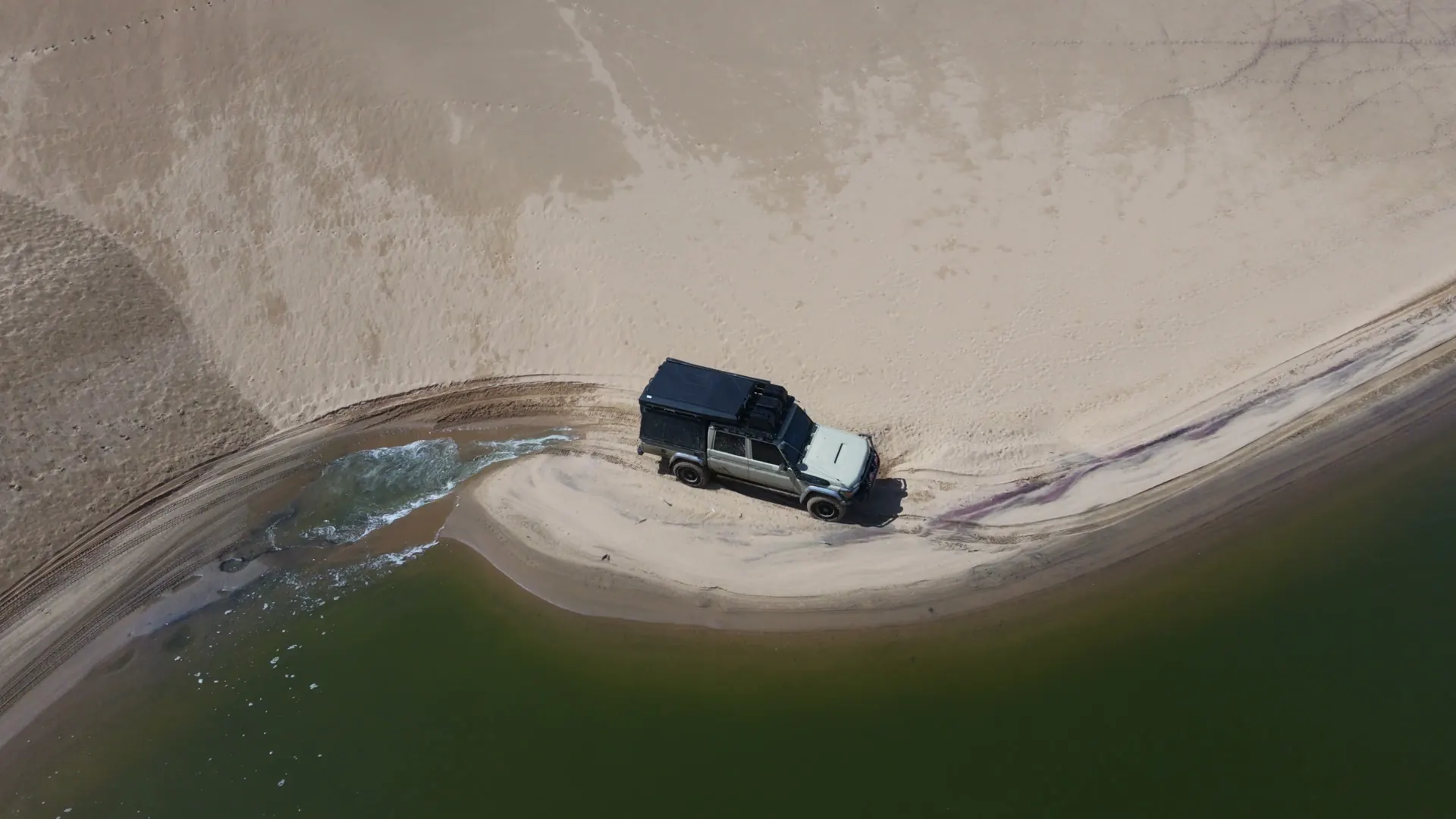
Locally, the route is known as Riscos. Among southern African overlanders it is also widely called Doodsakker or Death Acre. Whatever name you use, the reason the route has a reputation is simple: in places the available driving line sits between soft sand, dunes and the Atlantic.
The tide is not a suggestion
Coastal routes like Riscos can change from one trip to the next. Beach width, washouts, soft sand, swell and the timing of the tide affect how much room a convoy has to work with.
That is why we do not publish a universal “cross at this exact time” formula. A tide table is one input. The route still needs to be read on the day, and a conservative decision is better than proving a point with a vehicle.
Why multiple vehicles and recovery planning matter
A mechanical problem on an ordinary gravel road is inconvenient. A problem on a tide-driven beach route can become time-critical. Recovery points, winches, tow gear, tyre pressures, communications and convoy spacing all need to be part of the plan before the first vehicle commits.
We treat Riscos as an expedition section.
It is not sold as an isolated stunt. When it forms part of a route, it sits inside a wider plan for fuel, recovery, camping, weather and the next safe exit.
Explore Angola Expeditions