
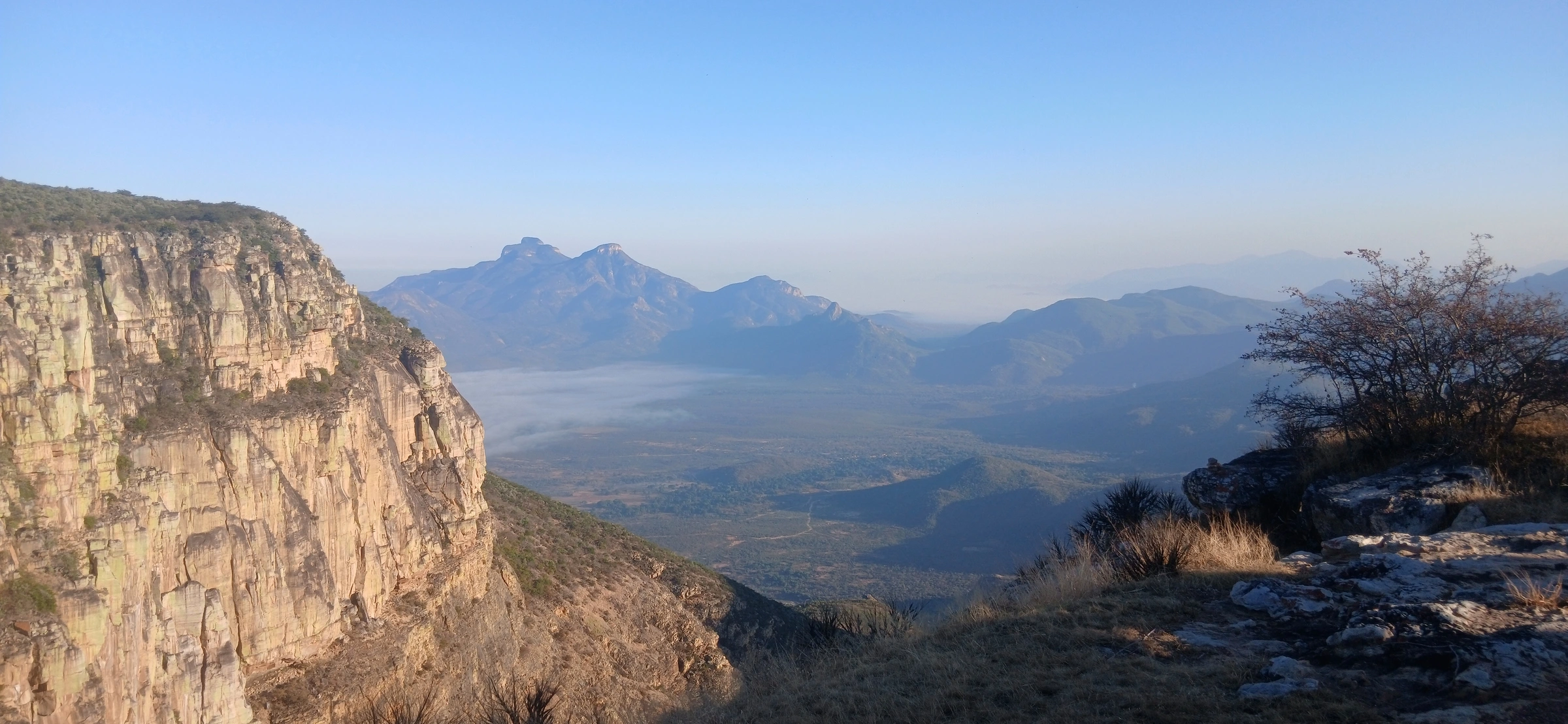
Serra da Leba is not just a photogenic set of hairpins. It is the dramatic western edge of the Huíla Plateau and a practical link between the highlands around Lubango and the Atlantic side of southern Angola.
Why the road looks the way it does
The EN280 Leba road crosses a steep escarpment where the plateau drops toward Namibe Province. A peer-reviewed geoheritage study describes the winding section as nearly 20 kilometres long even though the straight-line distance is less than seven kilometres, with an elevation difference of about 1,000 metres.
The same study describes six prominent hairpin turns and dates the modern road to the 1970s. Those switchbacks are what make the route instantly recognisable in photographs, but the geology and elevation change are what made such a road necessary.
Why we include it in an Angola expedition
Serra da Leba marks a change in landscape and climate. In a relatively short distance, the route moves between the cooler highlands and the drier coastal side. For an overland trip, it is one of those places where the road itself becomes part of the destination.
See it as part of a longer journey.
Our 14- and 21-day Angola sightseeing expeditions use the highlands and coast as part of a broader overland route.
14-Day Sightseeing 21-Day ExpeditionA note on popular history
Many travel posts repeat a single-name story about who “designed” Serra da Leba. The documented road history is more complicated than the social-media version, so we avoid presenting a disputed attribution as a simple fact.
Reference: peer-reviewed study “Geoheritage of the Iconic EN280 Leba Road (Huila Plateau, Southwestern Angola)” published in Land (2024). Read the study →